- Date
- Tuesday, January 24, 2023
- Author
- Ryan Buhler, Forecast Program Supervisor
The weak snowpack throughout the BC interior remains a concern and warm temperatures arriving on Wednesday, January 25, are expected to further destabilize any existing weaknesses in the snowpack. Given the volatility of the snowpack recently, we recommend avoiding avalanche terrain, especially in the North Rockies and northern Columbia Mountains.
Rising Freezing Levels
While the current weather forecast is showing major warming for the coast and parts of the interior, there is some uncertainty about how warm conditions will actually get and the full extent of this warming away from the coastal areas. The North Rockies appears to be the warmest location in the interior. It is also one of the areas with the most concerning snowpack conditions.

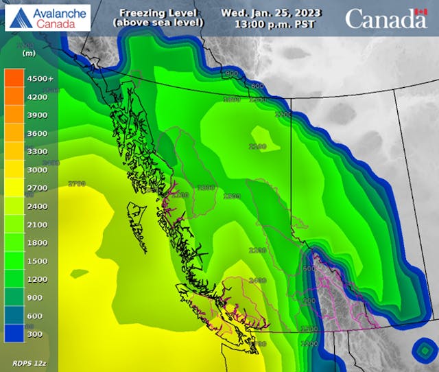
Freezing levels on Wednesday are forecast to reach over 2700 m for the south coast, 2100 m for the north coast, and near 2000 m for parts of the northern interior. Avalanche Canada Mountain Weather Forecast
Coastal Warming
The south coast will see the most substantial temperature increases, but the snowpack has already experienced warming and rain earlier in January so the impact of this warming event may not be as substantial as in other regions. That said, we can expect the warming to weaken surface snow and cornices. In parts of the coastal inland region, like the Hurley and the Duffy, a heavy trigger like a cornice falling would be the most likely trigger for any deep weaknesses still lingering in the snowpack.
The north coast has recently seen substantial storm snow accumulation and high danger ratings have been in place for several days. With the incoming warming, we can expect that this storm snow will continue to be reactive to triggering and the danger will continue to be elevated.

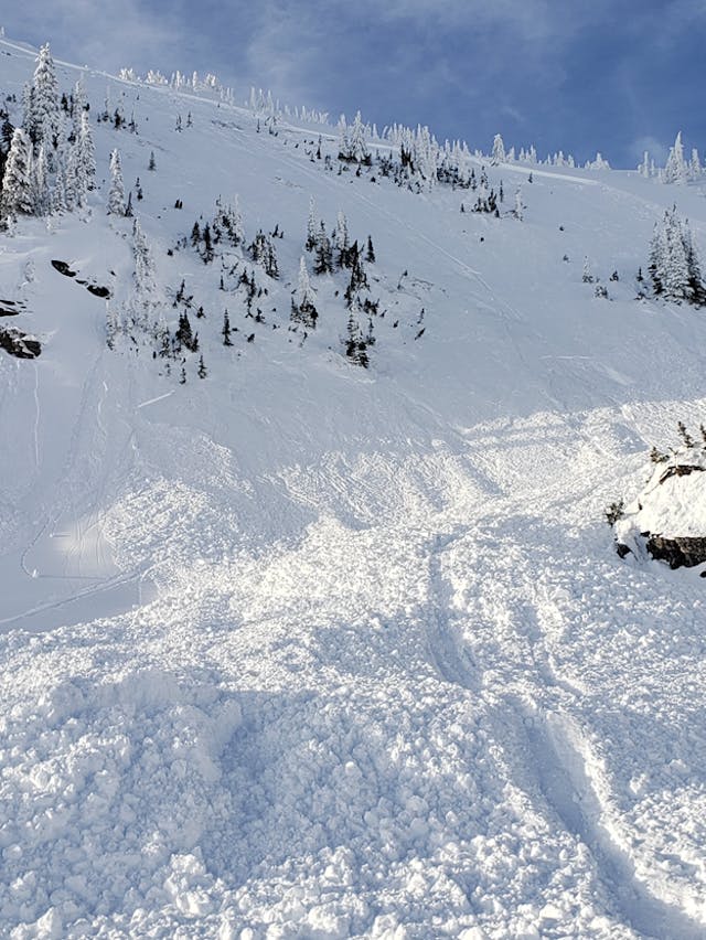
An example of a cornice-triggered slab avalanche. Cornice releases are common during periods of warming and sun, and their heavy weight can trigger deep weaknesses in the snowpack. Photo: Mark Bender
Interior Warming
The snowpack structure throughout the interior is weak, and this weakness is expected to persist, potentially for the entire season (see further: The Persisting Problem blog). We’re worried that this warming has the potential to destabilize any lingering instabilities and make the snowpack even more susceptible to human triggered avalanches.
Recent deep persistent avalanches in the interior include the recent fatal accident near Valemount on Saturday, this nearby deep release near Clemina Creek on Sunday, and a large avalanche near Golden on Monday. In addition to these deep releasing avalanches, we have seen an assortment of other concerning avalanches throughout the interior including touchy wind slabs and persistent slab avalanches failing on a layer of surface hoar from early January. On Monday, these problems resulted in two serious incidents in the interior.

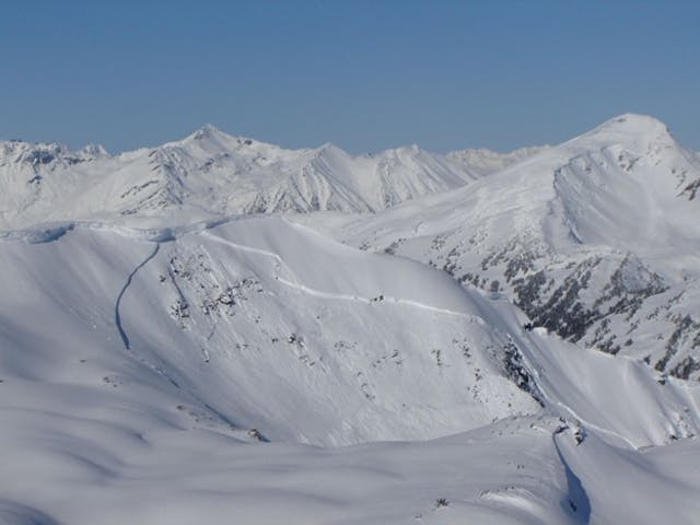
When the weak layer near the ground is triggered, wide propagations are possible. An example of a deep persistent slab avalanche from early January in the Revelstoke area. MIN Photo from MLDUQ.
Managing Warm Conditions
We’ve been stressing the importance of conservative decision making and patience in our bulletins and our past blog posts (see further: Managing a Persistent Slab blog) and this is going to remain essential as long as the snowpack is challenging. Our Senior Forecaster, Simon Horton, provides the following advice on managing warming and sun:
- Reduce your exposure to avalanche terrain when the temperature is rising rapidly. Be even more cautious it is above zero.
- Avoid travelling on or under slopes that are getting hit by the sun during periods of warming.
- The importance of aspect becomes more pronounced during warming. South-facing slopes are more susceptible to the impacts of warming, while north-facing slopes may remain colder.
- Be mindful of overhead avalanche terrain.
- Small avalanches or cornice falls have the potential to step-down and trigger large avalanches when there is a persistent or deep persistent slab avalanche problem.
- Use the power of group decisions. Giving everyone a voice helps groups make better, safer decisions. Speak up if you’re uncomfortable or think there’s a better option.

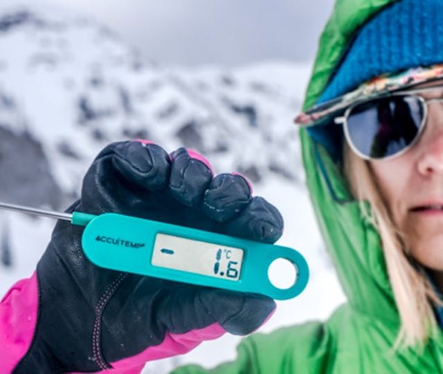
Watch for increasing temperatures through the day. Even temperatures below freezing have the potential to destabilize the snowpack when weak layers are present. Avalanche Canada photo.
Given the recent deep persistent slab avalanche activity in the northern interior, we are also advising against riding undisturbed and unfamiliar terrain. Good visibility and mild temperatures should not be seen as an excuse to push deeper into the mountains to find fresh tracks. These are the slopes that are most suspect and have the greatest likelihood of producing large avalanches. Now is a time to stick to simple, low angle terrain as well as busy, tracked-out areas.
This season’s snowpack is already proving a challenge and the warming will exacerbate that. Keep this forefront in your mind when planning and make the decision to ride terrain that will let you come home safe.
